Bermuda Forts


Hidden Gems
Come along for a fun-filled day on tour with Hidden Gems of Bermuda Ltd. Our mission is to provide an experience of a lifetime exploring Bermuda’s best kept secrets. Travel with
Explore Historic Fort George
Fort George is located on a hilltop, the view from the fort area is spectacular. You can get a great view of the St. George Harbor and all the
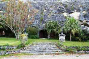
Fort William
Fort William was one of the many forts that were built in the early 1600s by Richard Moore, the first Governor of Bermuda who started the first official British settlement
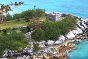
Ferry Island Fort
You can walk across to Ferry Island over a small footbridge from Ferry Reach Park. Walk around while looking at the ruins and the scenery, it will take you back
West Whale Bay Fort & Park
West Whale Bay Fort is a semi-circular fort in a spectacular setting overlooking West Whale Bay Beach and the south shore. Although the original fort no longer exists, you can
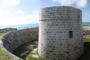
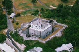
Martello Tower
Bermuda’s Martello Tower was built of hard Bermuda stone in the 1820’s. The fort looks like a cylindrical egg shaped tower and follows a design inspired by a fortress at
Historic Forts
There are approximately 90 forts scattered across the island of Bermuda. Some are easy to find and in picturesque areas – and the best part? You don’t have to be a history buff to enjoy them. Most have been restored, some are in parks, but all have gorgeous views.
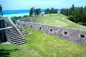
Fort Scaur and Park
Fort Scaur is an inland fort that was built to defend any land based attacks from the south shore. It had 64 pound guns mounted on disappearing carriages. The guns
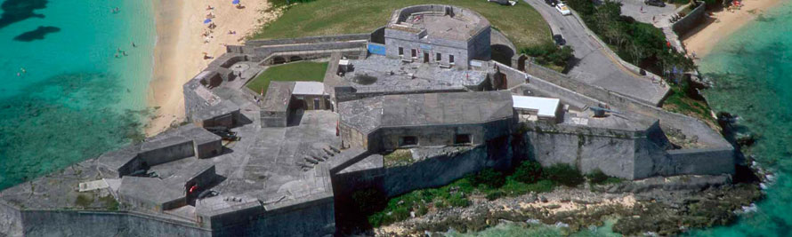
Fort Scaur
The ramparts here offer spectacular views of Ely's Harbour and the Great Sound. To reach Fort Scaur take bus numer 7 or 8. Both travel between Dockyard and Hamilton.
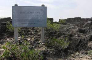
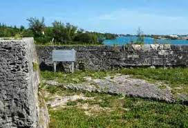
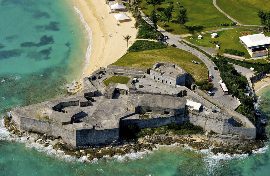
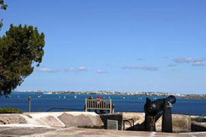
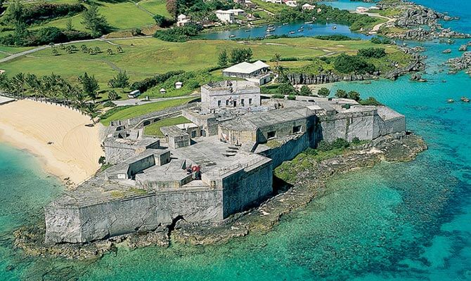
Burnt Point Fort
The fort was built not only to defend attacks from the enemy ships, it was also used to supervise any illegal sea trading by the locals. Bus route #1, 3,
Historical Forts in St. George’s Bermuda
Discover Historical Forts in St. George's St. George's is home to several forts that played a crucial role in the island's defense throughout history. Fort St. Catherine: Located at
Gates Fort
Gates Fort sits right on the edge of Town Cut, a channel that was created for ships to enter the St. George Harbor.As you walk into Gates Fort, you will